Mission-critical use cases for the world's most exposed assets
The platform is designed for the most consequential assets where early risk detection is the difference between prevention and catastrophe.
Signal coverage
4
Signal types
6+
Use cases
Global
Coverage
Signal detection
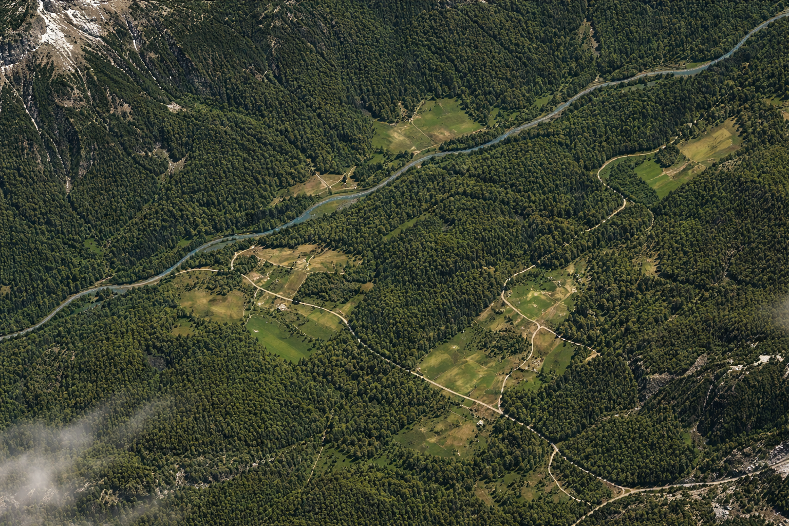
What VIGIL-EARTH sees
The risk signals beneath the surface
We map hidden instability around critical assets using proven satellite and geospatial data techniques — not opinion.
Ground deformation
Detect hidden movement beneath dams, bridges, roads and mine slopes before surface damage appears.
Water & moisture anomalies
Capture changes in reservoir spread, seepage patterns and saturation that destabilize assets over time.
Terrain movement
Monitor subsidence, uplift and slope migration across broad geographic portfolios with repeat observations.
Geospatial anomalies
Identify unexpected activity near critical corridors, pipelines and compound infrastructure zones.
Use cases
Where VIGIL-EARTH is mission-critical
Deployed across industries where infrastructure failure carries the highest consequences.
Dams & reservoirs
InfrastructureContinuous surveillance of reservoir slopes, foundations and spillways for early warning of structural compromise.
Roads & bridges
InfrastructureMonitor foundation settlement, pier movement and deck deformation across transport networks.
Pipelines & corridors
InfrastructureDetect ground movement, erosion and third-party interference along critical energy infrastructure.
Mining & industrial sites
IndustrialTrack slope stability, tailings pond integrity and ground subsidence at high-value extraction sites.
Insurance underwriting
InsuranceData-driven risk assessment for property, casualty and specialty insurance portfolios at scale.
Forensic asset review
InsuranceSatellite-derived displacement history and anomaly context for claims, litigation and settlement.
See it in action
Ready to discuss your specific monitoring needs?
Our risk intelligence experts will walk through relevant use cases for your portfolio.